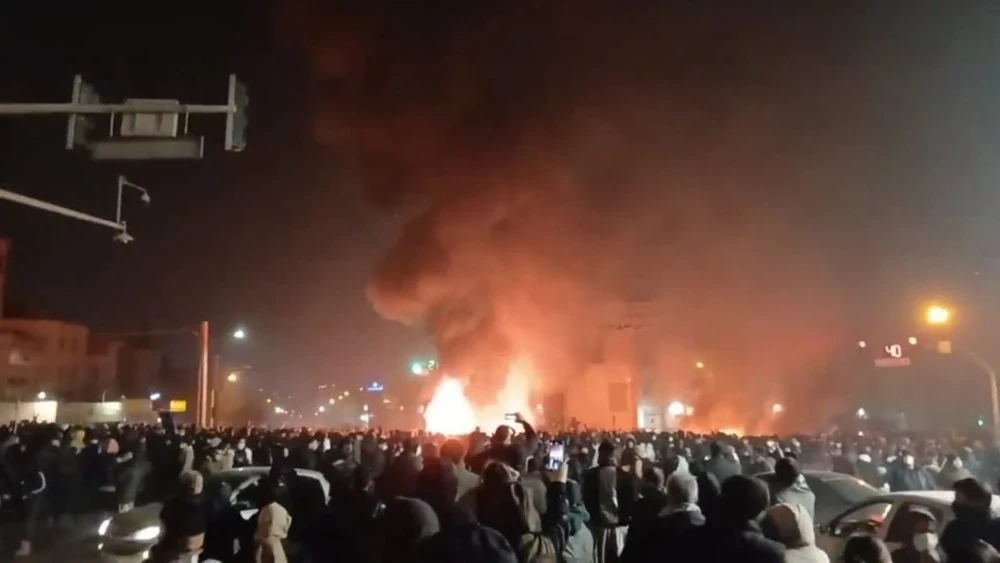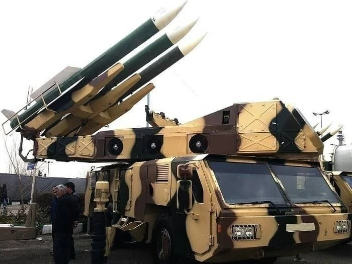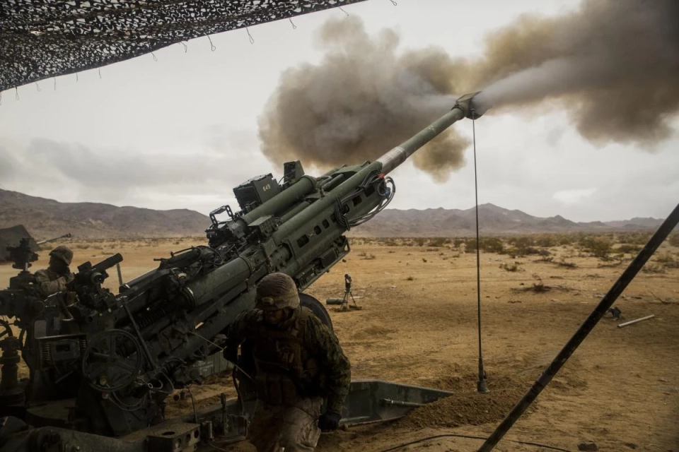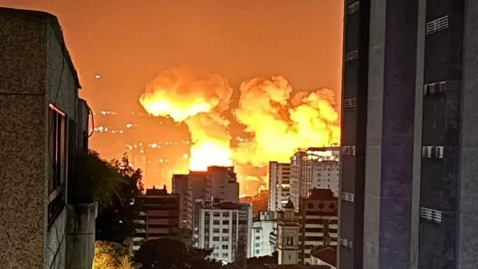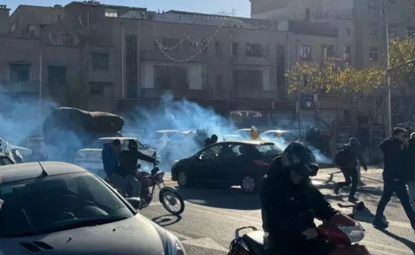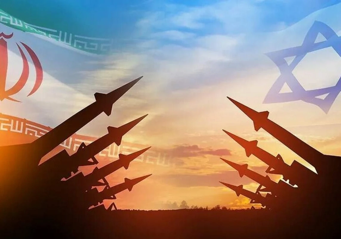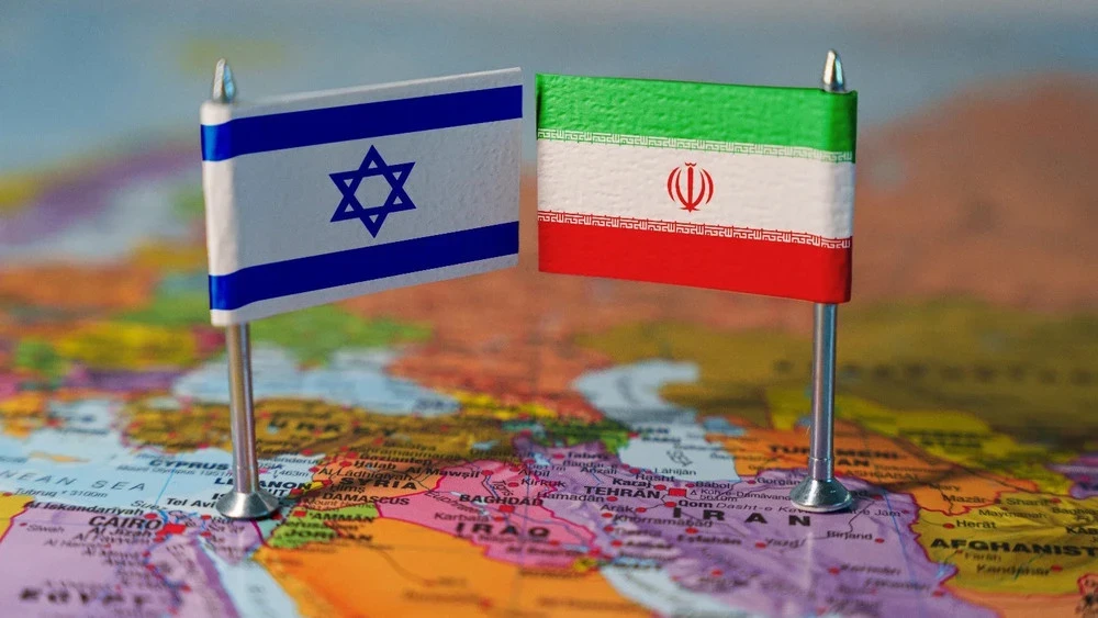
On February 28, there was a significant deterioration in the situation between Israel and Iran as a result of attacks on Iranian facilities. According to international news agencies (Reuters, AP, The Guardian, Washington Post), the strikes targeted infrastructure related to security and military sites. Iran, in turn, announced retaliatory strikes against Israel, as well as actions against American facilities in the region.
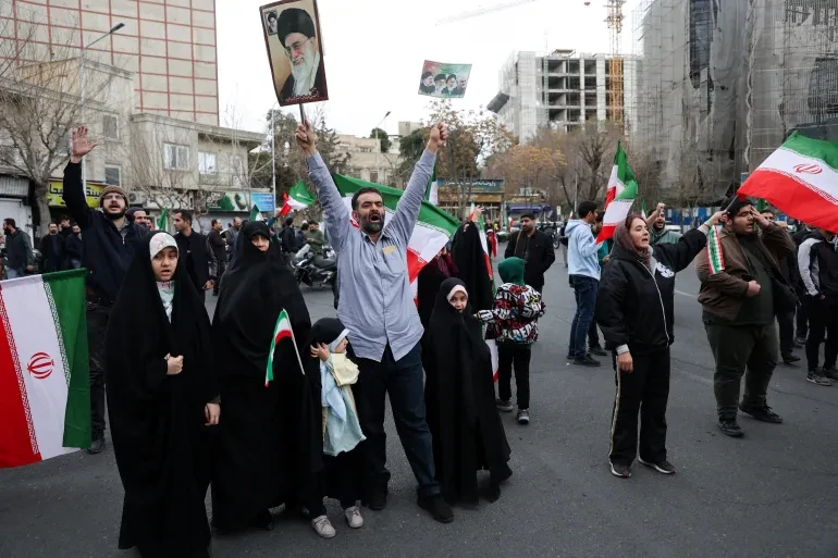
International organizations and countries have called for de-escalation of the conflict. The UN Secretary-General emphasized the danger of the conflict expanding, and the Security Council held emergency consultations. Russia condemned the attacks, while EU countries expressed their concern and called for a diplomatic resolution of the situation.
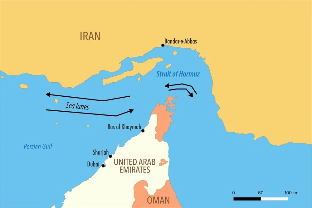
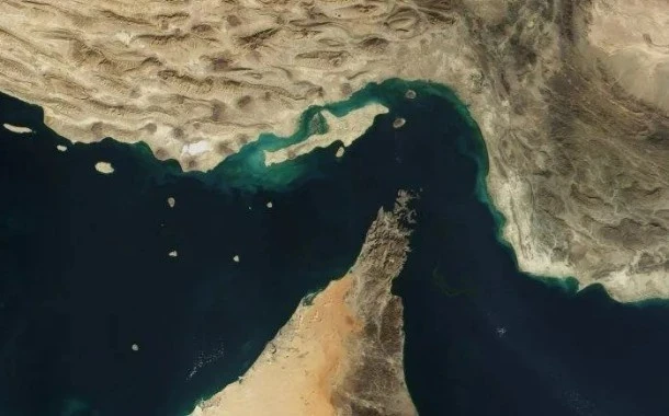
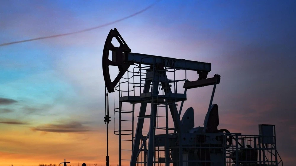
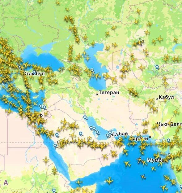
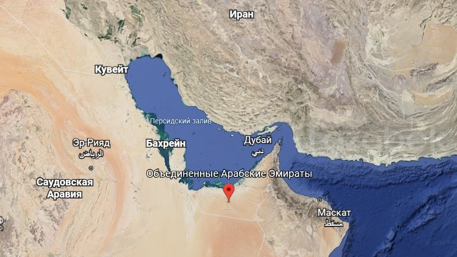
At the same time, security risks in the Strait of Hormuz have significantly increased. According to Reuters, Iranian military forces began warning ships of a passage ban, leading to disruptions in shipping and a partial suspension of oil supplies. However, there has been no official confirmation of the closure of the strait.

Maps illustrating the military and geographical situation in the region are presented.