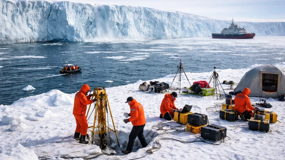
A recent international study, combining data from 44,000 images obtained from Copernicus Sentinel-1 satellites and 14,000 ground GPS measurements, has led to unexpected conclusions about tectonic processes.
As part of the world's largest satellite study of tectonic processes, it was demonstrated that the Earth's fault lines are significantly weaker than previously thought, and continents are less rigid and more "fluid." The focus of the work, published in the journal Science, is on the Tibetan Plateau, which arose from the collision of the Indian and Eurasian plates.
The research team, led by scientists from the British COMET center and the University of Leeds, brought together specialists from various cities, including Edinburgh, Oxford, Beijing, Melbourne, and New York.
The analysis conducted on one of the largest geodetic data sets in history allowed for the creation of surface movement maps with an accuracy of up to one millimeter, made possible by combining data from over 44,000 radar images and 14,000 ground measurements.
"This is the clearest picture to date of how the continent is changing under the influence of enormous forces," commented lead author Professor Tim Wright from the University of Leeds. "Now we can observe exactly how the Tibetan Plateau is moving."
The resulting maps show that the eastern part of the plateau is "flowing" eastward at a speed of up to 25 millimeters per year, while other areas are moving more slowly or even stretching in opposite directions. This indicates a complex and ongoing process of deformation.
A key finding was the refutation of the traditional model that views the plateau as composed of rigid blocks separated by clear faults. New data show that these blocks are not as rigid, and the fault lines are significantly weaker than previously thought.
The Kunlun Fault plays an important role in this process. Researchers found that its weakness allows the central part of Tibet to break down and stretch in eastern and western directions, leading to the release of accumulated gravitational energy. "The weakness of the Kunlun Fault is key to understanding processes in central Tibet," noted co-author Jin Fang. "This explains the extensive expansion of the region, which has long been a mystery for geologists."
The study also documented vertical movements: some areas of the plateau are rising or sinking at a rate of about 5 millimeters per year, confirming the dynamic nature of deformation.
These discoveries not only deepen our understanding of mountain and continent formation but also lay the groundwork for revising seismic hazard assessments on a global scale. More accurate deformation maps can improve earthquake forecasting in other active zones of the planet. "This work sets a new standard for assessing seismic hazard," added Nuno Miranda, head of the Sentinel-1 mission at the European Space Agency. "It is an outstanding achievement in science, highlighting the significance of major faults in continental tectonics."