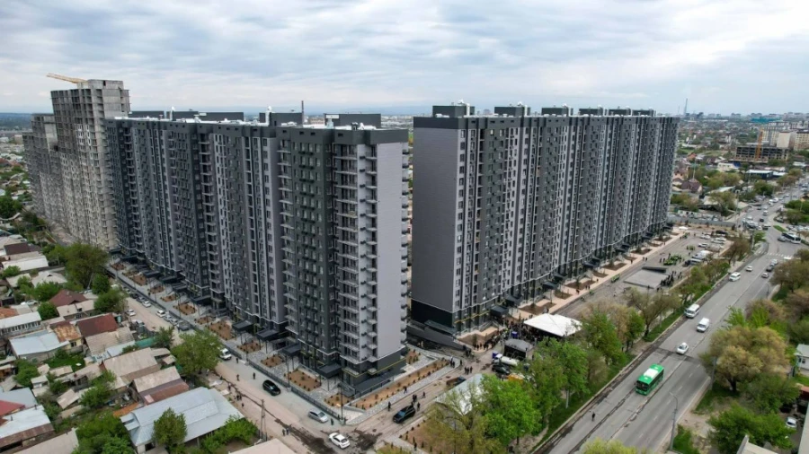
The topic of private property and potential demolitions raised the most concern. Residents directly asked whether their homes, including Stalin-era buildings, panel, and brick structures, as well as properties located along main streets, would be affected.
In the responses from the city administration and designers, it was emphasized that the general plan does not foresee the demolition of residential buildings, and renovation would only be possible with the consent of the owners. However, each such response included a caveat that decisions regarding street expansions, red lines, and functional land use would be made later — at subsequent urban planning stages. This leaves residents in a state of uncertainty, despite formal guarantees.
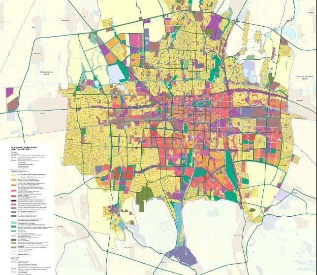
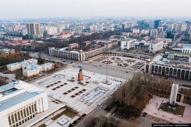
Photo from the Bishkek City Administration. General Plan 2030
Questions regarding red lines and the accessibility of information also caused tension. Participants in the hearings noted that many residents do not understand where the red lines are located and what restrictions they impose. Representatives of the developers acknowledged that the previous general plan was not accessible for public review. Currently, city authorities intend to provide materials in electronic form, excluding engineering sections. Many discussion participants believe this step is critically important for restoring trust in the document.
The discussion around functional zoning and color coding of areas was also active. People tried to understand what the different colors on the map mean and whether they can build on these plots. The responses indicated that the red zone implies multi-story residential development, the purple zone indicates multifunctional or specialized public-business areas, the green zone is for greening, and the white zone consists of plots undergoing land amnesty. However, for many people, the legal implications were more important: whether they can already start processing documents, building, or reconstructing housing.
The issue of green zones also became acute. Residents made requests regarding plots that, according to the project, fell into greening zones, even though private homes are located on them. In some cases, the city administration acknowledged the comments and agreed to adjust the boundaries of the green zones; in others, it rejected the proposals, citing previously approved development projects.
The authorities also promised to restore irrigation systems and develop watering, noting that without this, the expansion of green zones would be meaningless.
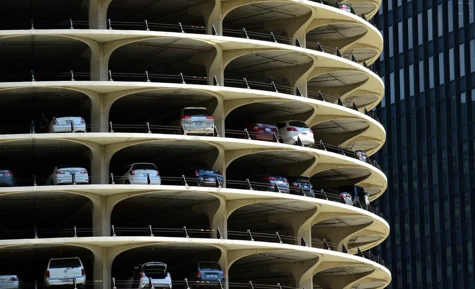
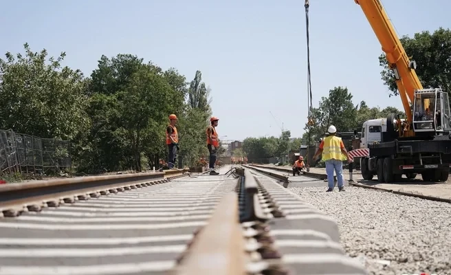
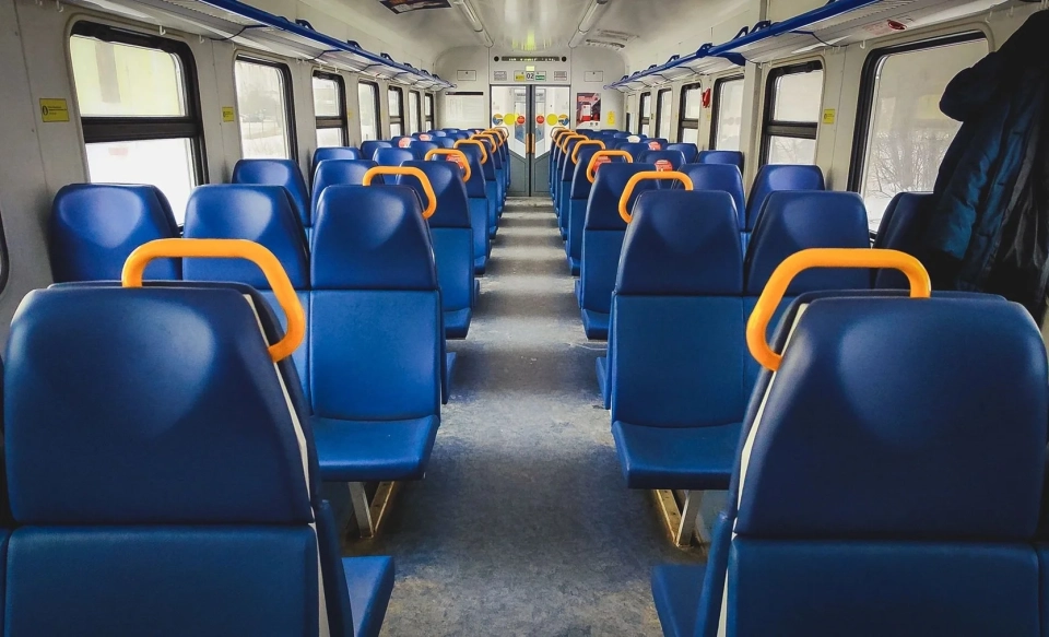
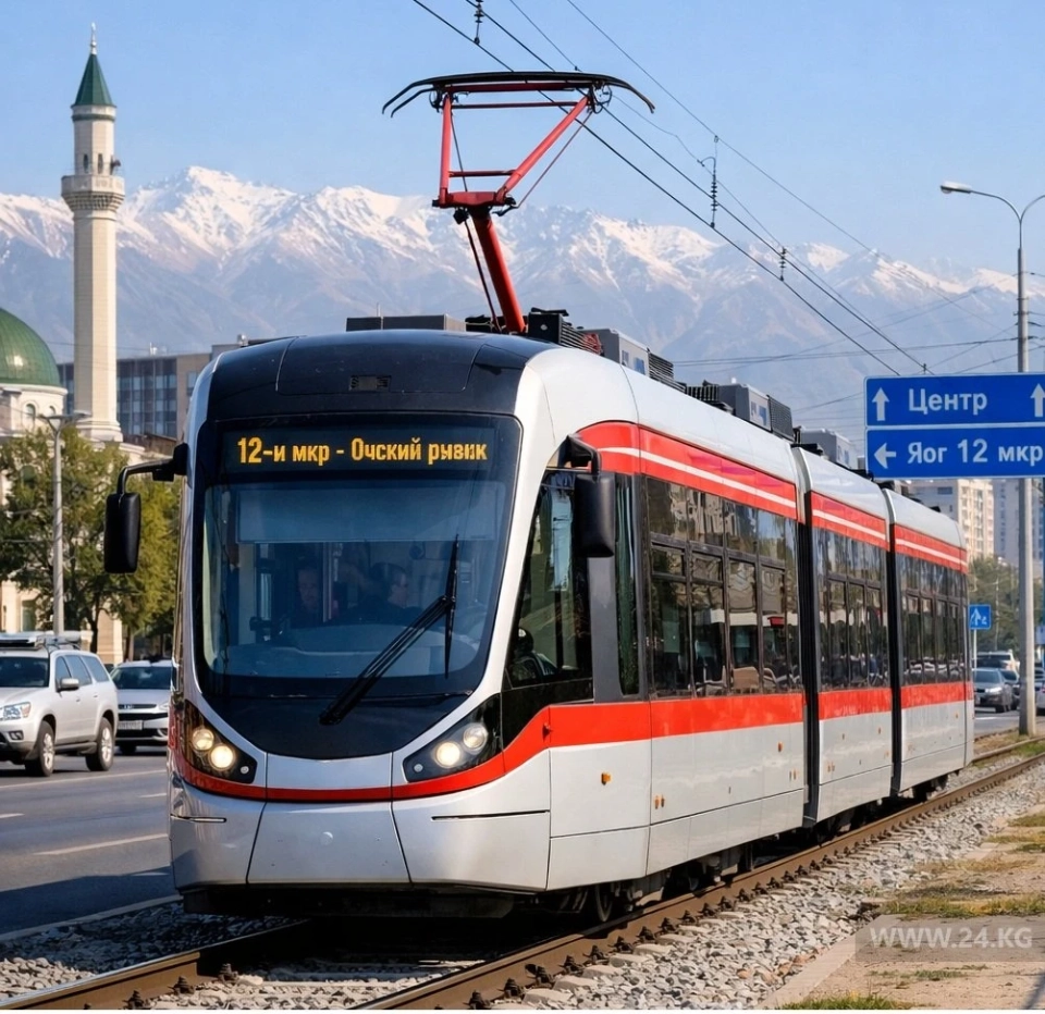
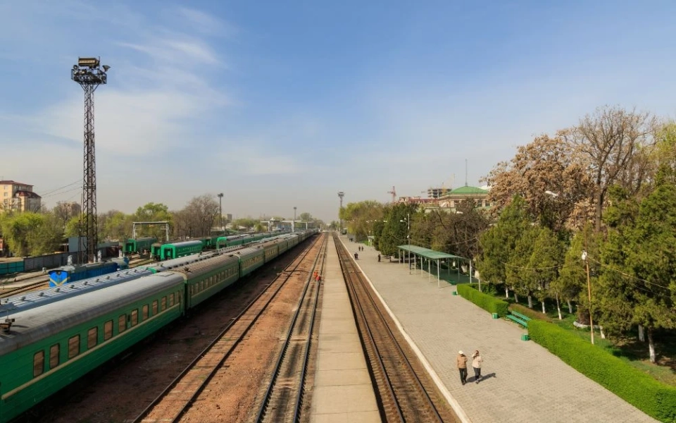
As for transportation infrastructure, discussions revealed a gap between residents' expectations and the logic of the urban planning document. Residents raised questions about expanding streets to 6-8 lanes, creating new roads, organizing parking, and pedestrian infrastructure. Responses indicated that the general plan only defines the direction of development for the street and road network, and specific parameters will be clarified later.
It was also mentioned that a metro is not included in the plans; instead, a tram, city train, and bus rapid transit are proposed. At the same time, many practical issues — sidewalks, stops, and underground passages — were deemed unrelated to the tasks of the general plan.
No less important was the topic of social infrastructure. Residents and deputies discussed the lack of schools, kindergartens, and medical institutions, especially in areas of individual construction and annexed territories. In the responses from the city administration, it was stated that schools and kindergartens are planned on reserve municipal lands, and social facilities must be included in multi-story developments as a requirement. However, specific addresses and timelines for implementation were not provided.
A significant number of questions concerned land amnesty and the transformation of plots. Residents were interested in the fate of houses built after 2021 and why plots with utilities continue to be classified as agricultural land. The responses clarified that such territories are temporarily designated in white, and their status will be reviewed after the completion of amnesty procedures. For transformations, it was suggested to submit documents in the established manner.
Overall, the public hearings showed that the general plan is perceived by residents not as a strategic document but as a tool that directly affects their daily lives.
The main requests from the public are focused on three key points: clear guarantees regarding private property, open access to maps and red lines, and a real connection between development plans and transportation, green infrastructure, and social facilities.
The level of trust in the general plan and its practical implementation will depend on how consistently the city responds to these requests.